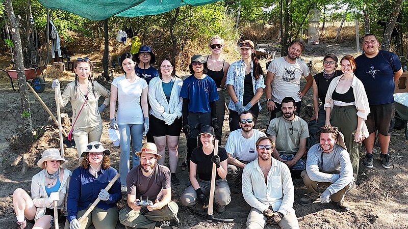
A new research project was initiated in 2019 at the famous Neolithic site Amzabegovo in Macedonia (Central Balkans), half a century after the notorious campaigns by Marija Gimbutas (UCLA) and Milutin Garašanin (University of Belgrade). Since 2022, after officialising the collaboration between the Austrian Archaeological Institute and the Municipal Museum of Sveti Nikole, the project is part of the OeAI portfolio. Today, the project has grown to be an international interdisciplinary platform for research and training activities, uniting specialists and students from different corners of the World.
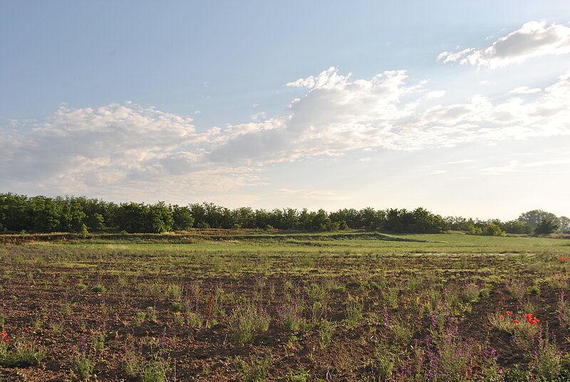
The Neolithic site Amzabegovo was discovered in 1960 and within a decade became a reference point for the Neolithic studies in the Central Balkan area. The reasons for this, on one hand, is the significance of the site itself – with its location, size and longevity it was a regional centre representing the southern part of the Vardar-Morava neolithization corridor, from the first farmers until the first metal production (6 300 – 4 800 BC). On the other hand, Gimbutas and Garašanin conducted large-scale excavations making it one of the most extensively studied Neolithic site at the time. Moreover, Gimbutas` novel at the time multidisciplinary approach, produced a comprehensive monograph still used and cited today. This contributed greatly in the dissemination and popularization of the site within the scientific community. 50 years later we are back to uncover a more detailed picture of the Neolithic development in this region between the Aegean and Central Europe, something that modern-day technology allows.
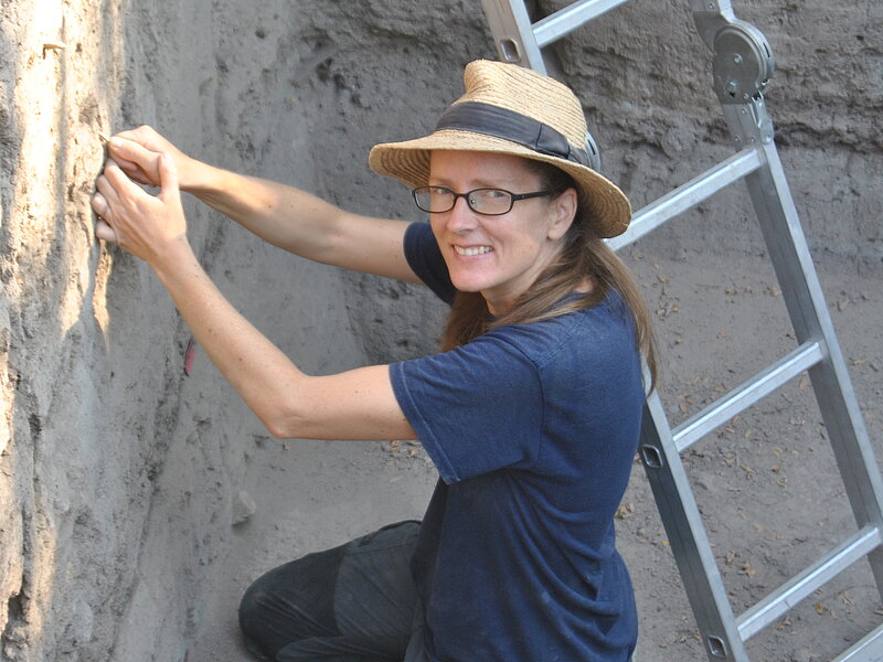
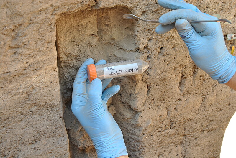
One of the first goals was to revise the existing stratigraphy and chronology. Our detailed field excavation and documentation approach, combined with micromorphology and extensive AMS 14C dating and modelling, revealed a very complex sequence of building, rebuilding and renewal episodes, with more accurate estimation of their timing and duration. The detection of discreet features/events within the stratigraphy is also a great opportunity for targeted sampling of material for various analyses, such as sedaDNA, soil chemistry, isotopes etc.
An extensive geophysical scanning of the area, by the OeAI team and the local partners, is underway. The site and its surroundings were scanned with a LIDAR scanner, which revealed new aspects about the microtopography and the site formation processes. Detailed orthophotography and 3D models were also produced. So far, around 10 ha of the settlement (about half of the entire settlement area) were geomagnetically scanned, determining the southern and the eastern limits of the site. Furthermore, the geomagnetic anomalies revealed unprecedented view of the organization of the site through time, with possible growing and shrinking phases, economically specialized districts, building clusters, and size and orientation of structures. This knowledge is key for further planning of fieldwork and moving the project forward.
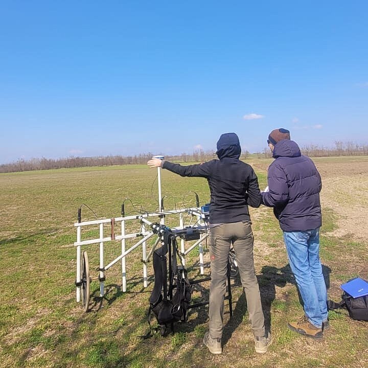
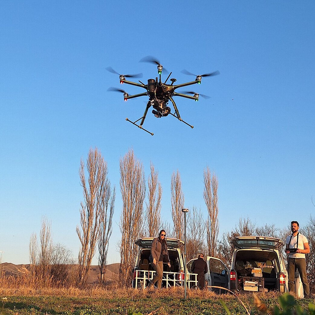
Currently, a continuous area of nearly 200m2 is under excavations. Knowing the stratigraphy, the chronology and the site expansion and organisation, the goal of the systematic excavations is to uncover the daily life of the Neolithic community in higher resolution – the architecture, the household organization, the built vs open air communal area, the human-animal relations, general and specific aspects of the Neolithic economy, diet, health, mobility, and how all these aspects developed through time. This is possible thanks to the abundant artefacts, biofacts and ecofacts, alongside the various built structures, discovered during the excavations.
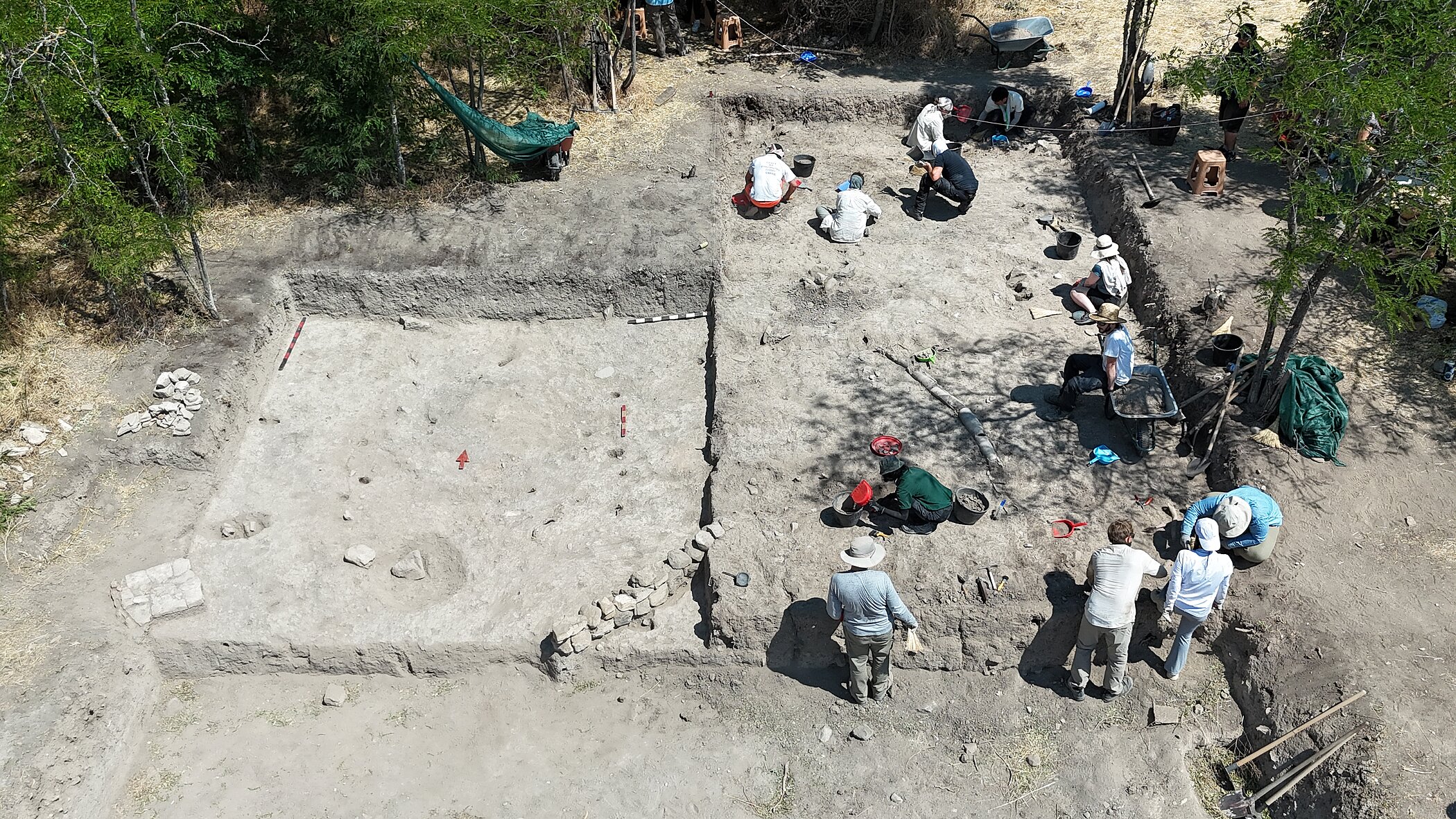
A team of experts, OeAI specialists and associated collaborators, are studying the different groups of material remains from various aspects. The vast body of pottery is being systematically and statistically studied to establish a revised typo-chronological profile. The pottery technology is also studied, in the wider context of economy, raw material procurement and recycling. This is also the case with the stone tools. The carbonized plant remains, retrieved through systematic flotation, as well as the animal remains, provide information on paleoecology, diet, economy, mobility, but also provide suitable material for 14C dating. Each of these contributions is integrated into the interpretative narrative regarding the nature of the Neolithic society and the neolithization process along the Vardar-Morava corridor.
In collaboration with the Balkan Heritage Foundation, the project hosts a summer field school for international students, serving as a university course with specific syllabus. The field school is accredited with the USA educational system, students are graded and university credits are awarded. The students receive a training in field methodology, including excavation and identification of archaeological units, documentation, prospection, GIS, flotation, drawing and photography, but also theoretical knowledge on the Neolithic archaeology between SW Asia and Europe.