Philadelphia was one of a series of urban settlements founded by the first Ptolemies along the new irrigation system in the Fayyum depression. It was administered as a village throughout the Hellenistic and Roman periods, and fell into oblivion by the turn of the 5th century AD.

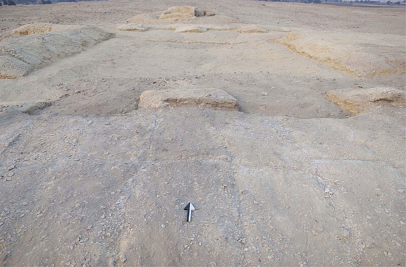
The existence of its urban settlement (Kūm al-Ḫarāba al-Kabīr Ğirza) was first recovered from the records on numerous Greek papyri, discovered mostly through illegal diggings at the end of the 19th century. Only once, in 1908/1909, did the site undergo organized archaeological exploration, during a German mission led by P. Viereck and Fr. Zucker on behalf of the Berlin Museum. They merely covered the northern part of the southern zone. A sketch of the urban area was not produced until 1924, by L. Borchardt. It roughly overlaps the aerial photograph taken by the RAF in 1925, on which the urban planning, now mostly fallen into ground-level ruins, can be seen approximately. Compared to the tremendous papyrological finds, among which the Zenon archives are the most noteworthy ensemble, not much is yet known of the material aspect and spatial organisation of Philadelphia.
The site is situated at the north-eastern corner of Fayyum, dominating a trade route which linked Fayyum to the Nile Valley at this point. It is separated from the arable land to the west by the modern canal Baḥr Wahbī running south-north at this section. It measures about 1.8 km long and 1.4 km wide. It is bordered by agriculture to the north, by a water station to the north-east, by desert hills to the south-east and by agriculture again to the south. The course of the ancient canal Baḥr Wahdān parallels the Baḥr Wahbī to its east. The site is cut through from west to east by the Ğirza road, and splits into a northern zone and a southern zone. The urban area of the northern zone was limited to the east by a shallow wadi (valley), while the urban area of the southern zone suffers from invasion of modern cemeteries. The necropolis (so-called al-Rubbiyāt) lies to the east of the wadi and the modern cemeteries.
A survey project has been initiated at the French Institute of Oriental Archaeology in Cairo, with Ruey-Lin Chang as the principal investigator. The first season – PhF1501 – was carried out from 5 to 16 December 2015, and allowed the definition of 36 sectors of the territory, the first topographical work and magnetic prospection, the first study of the artefacts on the surface (sector 12, early Ptolemaic period), as well as recording of a few structures. Our initial thematics of research are about the urban planning and the location of rubbish dumps where written sources may still be found. The survey has revealed two interesting yet previously neglected features of the site. One is the red-brick structures on the eastern bank of the ancient canal and traces of activities based on the use of fire on the western bank, seen on magnetic plots. The other, identified by topography, is an ancient road which leads from the urban centre down to a limestone quarry inside the desert hills bordering the territory to its south-east, and stretches beyond towards the Nile Valley.
