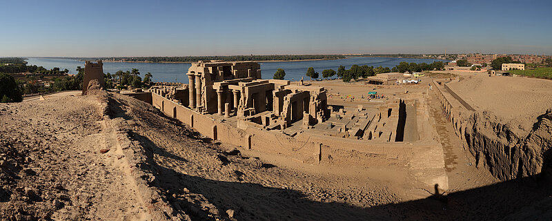
The site of Kom Ombo has been settled since the prehistoric period to the 19th century CE. In the Greco-Roman period Kom Ombo was the metropolis and capital of the first Upper Egyptian Nome. Starting in November 2017 research on this important city and its hinterland will be conducted by the Cairo Branch.
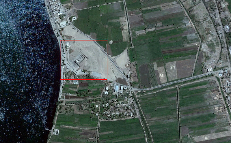
Kom Ombo is located about 45 km north of Aswan and 120 km south of Luxor. The plain of Kom Ombo extends over 450 square kilometers to the east of the Nile which widens in this area and the river winds to the west. The basin created by this is filled with late Pleistocene river sediments.
The name Kom Ombo is derived from the ancient Egyptian name Nibyt or Nbw (»the golden one«). The modern Arabic name means »Hill of Ombo«. Attested by inscriptions since the first intermediate period, Kom Ombo became an important administrative center of Egypt starting in the Ptolemaic period.
Archaeological find sites from the late Paleolithic (about 15000-12000 BCE) are located in the basin of Kom Ombo. The city has been settled since the Old Kingdom at the latest. Epigraphic sources attest to temples and private tombs from the Middle and New Kingdom.
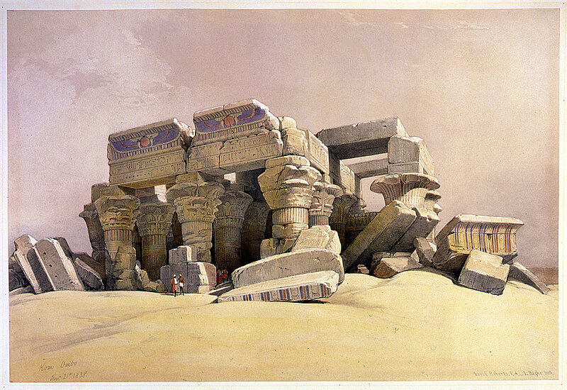
The construction of the still visible temple began under Ptolemy VI Philometor (186-145 BCE); during his rule a large part of the relief decoration of the temple took place. Even for the rule of the Roman emperor Macrinus (217-18 CE) work on the temple has been verified.
In 1979 basic work was carried out by Barry Kemp and Michael Jones who conducted an archaeological survey of the tell located beside the temple. As part of the research of the Cairo Branch, the ancient city of Kom Ombo is being studied in its entirety. In addition to the study of the ancient city, an emphasis has also been placed on the hinterland – an approach that is still rarely done systematically in the archaeology of Egypt.