A new collaboration with the Göbeklitepe excavations of the Taş Tepeler project was initiated in 2025 to start new state-of-the-art and multi-level geoarchaeological investigations at Göbeklitepe in the context of its landscape. Understanding the dimensions of this extraordinary ritual and domestic place, including its borders, size, use of space and entanglement with natural sources and environmental conditions are expected to shed new light on the process of the Neolithization starting here around 11,500 BP.
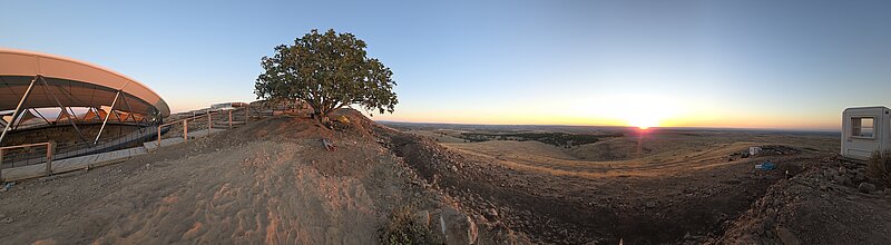
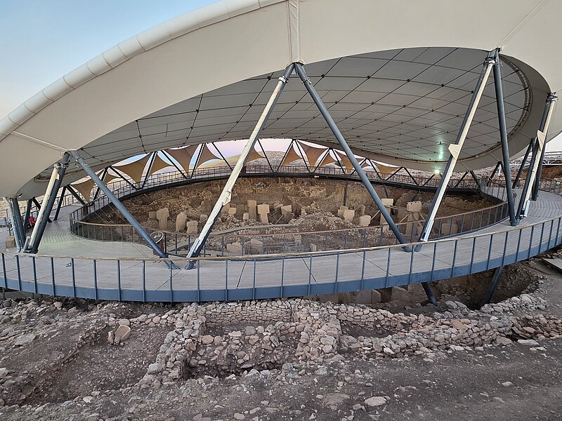
The present geoarchaeological project is being conducted within the area of Göbeklitepe and its wider environs. The multi-level investigations concentrate on the context, function and spatial extent of the archaeological landscape, as well as its interconnection with nature. It is evident that the specific geological formation selected by the hunter-gatherers is undoubtedly associated with their extensive long-term experience of the natural environment, encompassing wildlife, lithic resources, and waterways. The Pre-Pottery Neolithic manifestation in stone, as exemplified by the renowned pillar structures and the earliest domestic buildings, exhibits the most discernible impact on the environment and is presumably accompanied by other traces of activities in its vicinity, not transformed into monumental architecture.
It is hypothesised that the zone of Pre-Pottery-Neolithic (PPN) activities is not confined to the »built environment«, based on the assumption of previous observations of the Göbeklitepe team. The characterisation of our hypothesised »fluid frontiers« in the creation of the PPN landscape aims to establish a new model of the site based on geoarchaeological and primary multi-level data.
The essential interaction between human and nature, inextricably linked to the geological and ecological conditions, let us assume of fluid transition zones between archaeology and geology on the site. The interdisciplinary collaboration with the sites' excavation team (Lee Clare) and the Taş Tepeler project (Necmi Karul) is instrumental in establishing the foundation for developing geoarchaeological and scientific models. However, the integration of both the visible and the invisible aspects is pivotal in defining the extension of ritual and/or domestic areas, along with the associated activity zones in the wider surrounding. The sites’ borders, its extension and overall dimension will be defined based on former results, interdisciplinary collaboration and the newly produced data.
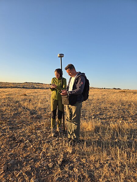
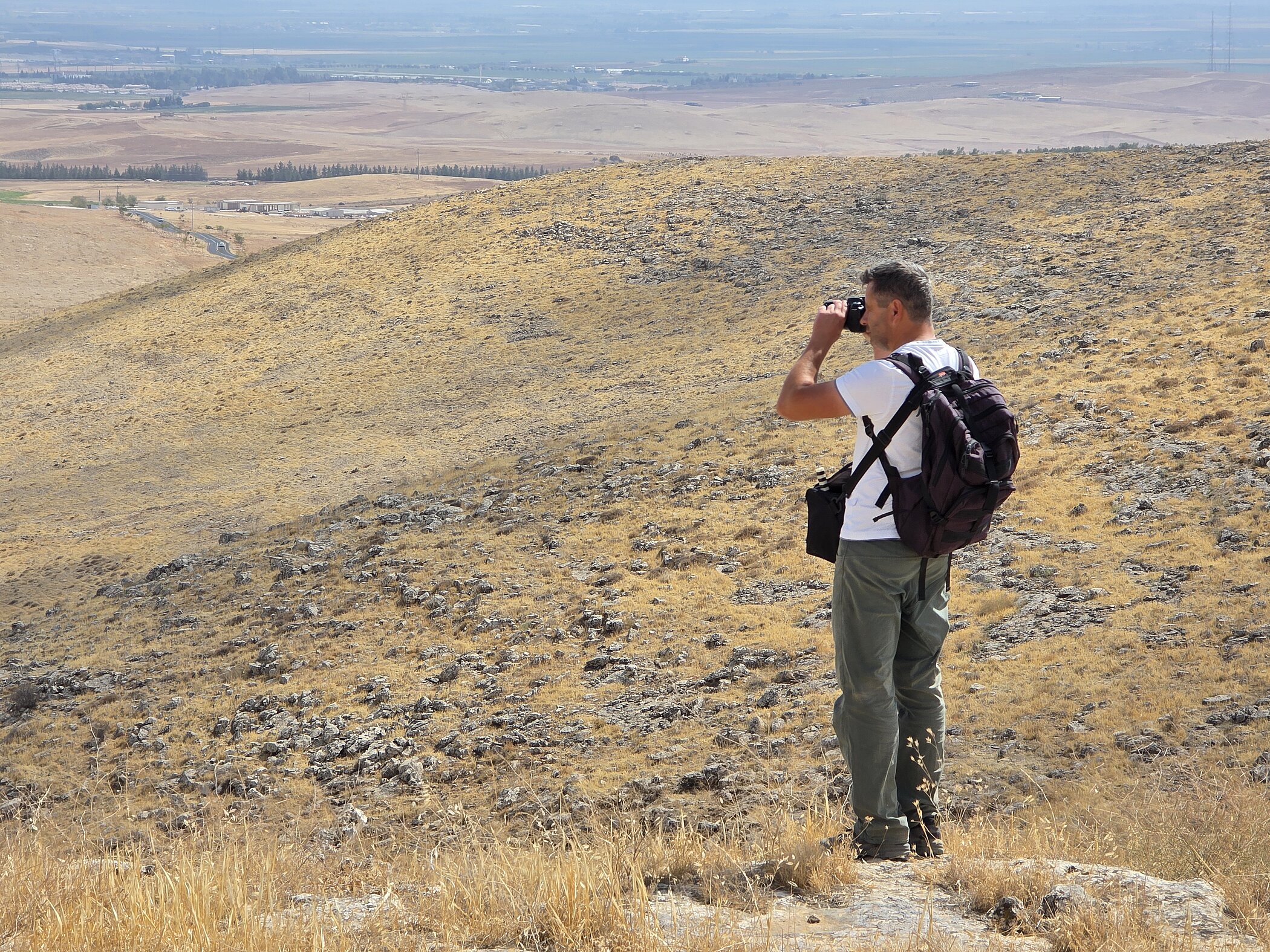
The multi-level approach includes geophysics, Lidar data, aerial photography and photogrammetry, geoarchaeological surveys, GIS analyses and 3D modelling as starting point.
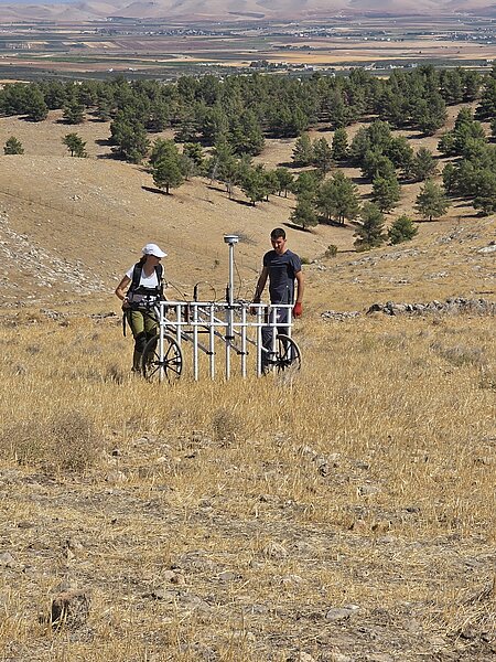
Magnetic prospection is used to detect physical anomalies in the ground that indicate archaeological features and geological conditions. This method records changes in the Earth's magnetic field caused by past human activity. The equipment used includes the Sensys MXPDA magnetic survey system with five FGM 650/3 probes, combined with a Stonex GNSS receiver (Model S900A) for georeferenced positioning.
To record the topography of the survey area, a UAV-based LiDAR system is used. This system captures the structure of the terrain using laser scanning. The data allows the creation of detailed digital terrain models and helps identify formations that may indicate human impact on the landscape. The results also support digital reconstruction and the analysis of how archaeological structures relate to their wider environment. Data is collected using a Dark Matter hX Gen 2 LiDAR drone, fitted with a RIEGL miniVUX-3UAV scanner and an APX-20 GNSS/IMU unit for precise spatial reference. Two Sony Alpha 6000 cameras are also mounted on the drone to provide visual documentation during the flights.
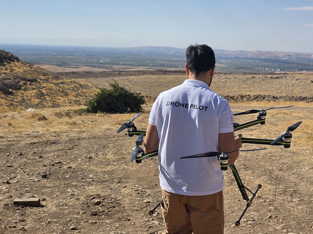
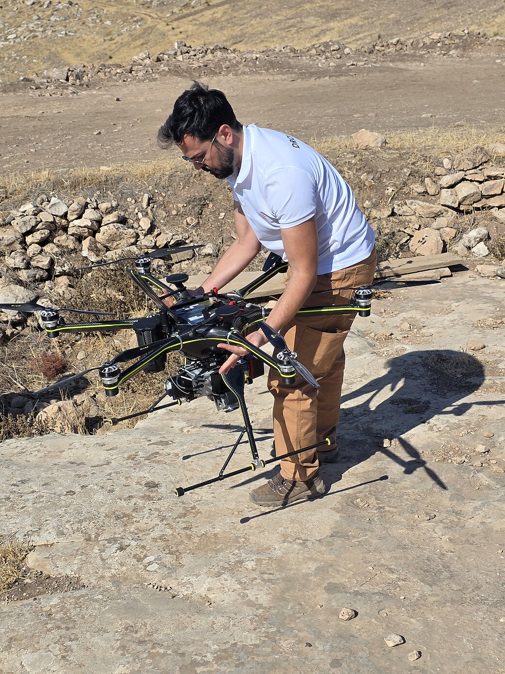
In addition, aerial photography is carried out using a drone with an integrated camera system. This method captures visual information of the ground from above. The images help to document patterns, surface changes or landscape features. They offer an additional dataset to support the interpretation of archaeological anomalies and their spatial context. A DJI Mavic 3E drone is used for this task. For the geodetic recording of all measurement data, a satellite-based GNSS system is used. It allows accurate positioning of all survey points and flight paths.
First investigations in the field were conducted in September-October 2025 and revealed solid new data. Preliminary results indicate not only new architectural structures outside the excavated areas, but let us also expect important additional data for our understanding of Göbeklitepe in its environmental context in future field seasons.