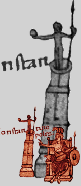
The province of Bithynia constitutes, much like the province called Europe in today’s European part of Turkey, the micro-asiatic hinterland of Constantinople, the capital of the Byzantine Empire. Although separated by the narrow strait of the Bosporus, Bithynia maintained close political, military, economic and cultural contacts with Constantinople. Hellespont, which had belonged to the province of Asia until Late Antiquity, also formed a bridge to the centres of western Asia Minor, such as Ephesos or Sardeis.
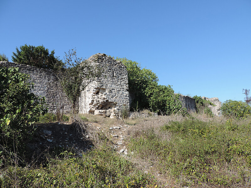
In terms of geography and climate, the area studied in this volume from the perspective of historical geography belonged the Black Sea region as much as to the Aegean. To the traditional triad of metropoleis—Nikomedeia, Nikaia and Kyzikos—were added a large number of towns, some of more recent origin, that contributed considerably to the provinces’ trade and economy. Defensive structures, from the large fortified cities such as Nikomedeia, Nikaia, Prusa or Kyzikos to large and small fortresses from the entire period under consideration testify to the importance of the province, which also had to protect the capital from attacks from the east (Persians, Arabs, Turks).
A dense network of roads and sea routes together with the necessary infrastructure (hostels, harbours, store-houses) facilitated the swift transport of troops, commodities and travellers to and from the capital to the southern and eastern provinces. The region had a strong religious profile, with three “holy mountains” (mount Auxentios, Mysian Olymp and Kyminas) and an exceptional density of monasteries. The volume will contain about 1200 lemmata (toponyms). It joins TIB 9 “Paphlagonien und Honorias” and TIB 7 “Phrygien und Pisidien” in the east, TIB 10 “Aigaion Pelagos, Die nördliche Ägäis” and TIB 12 “Ostthrakien” in the west and thus provides the geographical link between the TIB projects in Asia Minor and Europe.