Cartography in Central Europe: the Iconisation of Rule
A most fruitful area of study concerns the representations of rule in historical cartography in the Habsburg territories. The two-dimensional urban and rural maps from the sixteenth to eighteenth centuries prove an excellent source for this focus.
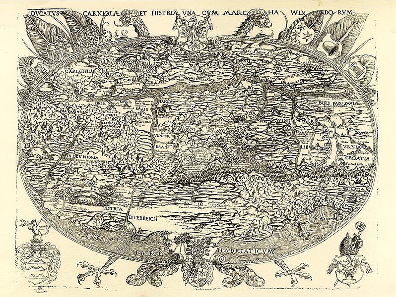
Maps are objects describing public spaces via “textual imagery” consisting of graphic signs, text and symbols. As cultural texts, they are extremely well-suited to analysis and are especially revealing with respect to the context of space and visualised power in the Habsburg lands (Hungary, Bohemia, and Austria). Our research interest is informed by knowledge – especially in the light of the latest research – on the intermedia constitution of maps, whose genuine task includes the depiction and categorisation of hegemonial spaces. An area of great significance for map production was doubtless the Hungarian territory (including Croatia, Slovakia, Transylvania etc.), which was at the centre of claims to power by both the Habsburg and the Ottoman dynasties.

A prerequisite for understanding the function and significance of territorial maps (of the individual hereditary lands, of Hungary, of Bohemia or of Moravia) as a medium is knowledge of the respective agents who commissioned these undertakings – as addressors combining certain interests with the medium’s publication and distribution: commissions usually came from the sovereign, the rural estates or the city government, but they could also come from international publishers primarily interested in the sale of such maps. Precisely determining who commissioned a map offers considerable potential for its historical study as a medium of communication: what specific interest did they have in the map’s production and distribution and how is this interest manifested on the map?
The aim is to develop a basis for a history of imagery and rule in the rural and urban maps of the Habsburg lands in the period under investigation.
On 5 and 6 October 2017, the OeAW hosted an international workshop on the subject of “Carthography in Early Modern Central Europe (Space – Hegemony – Methods)”.
In 2017/18, a project co-financed by the City of Vienna examined Central European rural and urban maps with a focus on Vienna in the Early Modern period, investigating the holdings of the map collection of the Austrian National Library, the Woldan Collection at the OeAW, the Wien Museum, the Wiener Stadt- und Landesarchiv and the Haus-, Hof- und Staatsarchiv.
Preparations are underway for a further workshop on the subject of “Charting Rule. Textual-Visual Representations of the Habsburg Lands in the Age of Humanism”, scheduled to take place in Vienna in January 2021, in cooperation with Martina Strecken of the Department of History/ZHM at the University of Zurich.
Project leader and contact
Project term
Since 2017
Funding
Stadt Wien, MA 7 – Kultur, Wissenschafts- und Forschungsförderung
Project partner