A web-based interactive spatial information system for the Alps
GALPIS combines a temporally and spatially harmonized data base with an instrument for mapping statistical data on the Alpine Space. GALPIS aims to provide attractive and informative maps for scientific analyses, data discovery tools and learning tools. Themes covered: population, settlement, agriculture, tourism, land use, biodiversity and ecology.
The web-based, user-controlled Alpine information system GALPIS-Web was first developed in 2002 on the basis of proprietary software. It relies on a harmonized data base of more than 1700 variables that contain the structures and developments within the Austrian Alpine Space and their forelands (i.e. mostly the whole of Austria – 2359 municipalities) for the years 1971, 1981, 1991 and 2001. Special highlights include a free definition of formulas for calculating and mapping new key indicators and a free choice of symbols.
A new software stack was chosen to meet current web application requirements:
CentOS Linux with Apache and Tomcat Servlet Cont.
PostGres/GIS DB, GeoServer
Frameworks: Openlayers 3, Bootstrap, AngularJS
The new development will:
expand the statistical data to the whole Alpine Arc
provide comparability of international parameters
allow for changing units (e.g. when municipalities amalgamate)
aggregate statistical data into superordinate units (e.g. from municipal à regional level)
support any number of counting events (e.g. censuses of different years)
Technical advantages of the new development:
fully implemented on Open Source software
supports OGC web services (WMS, WFS)
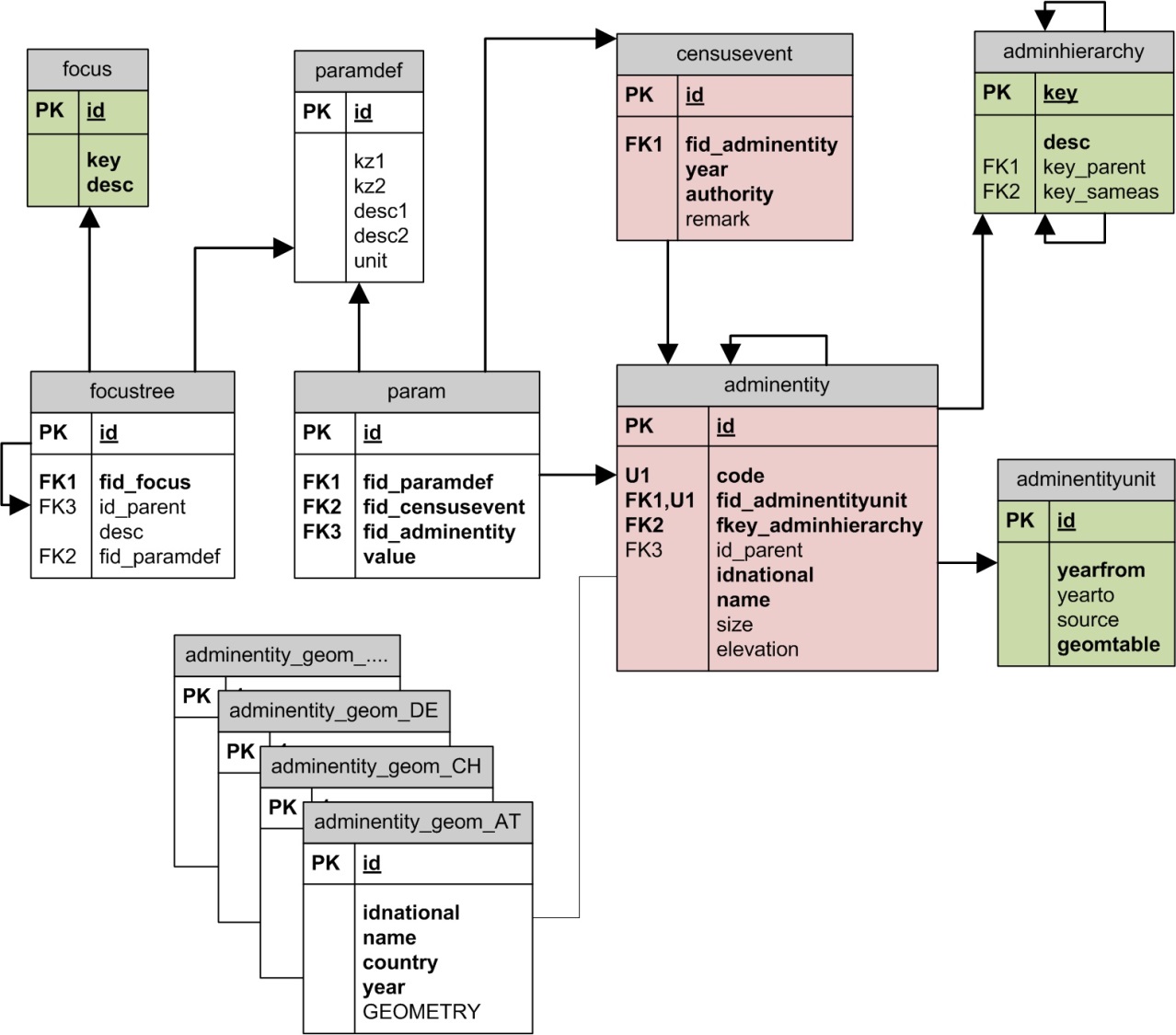
contemporary data base design and management
modern design and user interface

Coordination & project management: Oliver Bender
Data base concept and design:Oliver Bender
Programming & web design: Andreas Cziferszky
Project assistant: Kati Heinrich