I’m working in the EU project AlpES that deals with ecosystem services in the Alpine Space. As junior scientist at IGF, I’m responsible for the integration of datasets in the AlpES WebGIS. One of the important integrated datasets is the EuroBoundaryMap v10 (EBM), that was kindly provided to us by EuroGeographics. Therefore I was invited by Angela Baker of EuroGeographics to the EuroGeographics’s Extraordinary General Assembly in May 2017. Normally this conference is for members only, but this year they introduced the PRODUCTS session. In this session four users were asked to present how and why they use the data of EuroGeographics.
For me that was an easy task, because especially the LAU 2 units (municipalities) out of the EBM play a key role in our AlpES project. These units are used for the calculation and the visualisation of the project data results, the so called ecosystem service indicators. By using the LAU 2 units we can provide our WebGIS users with the highest accuracy and resolution that is currently possible.
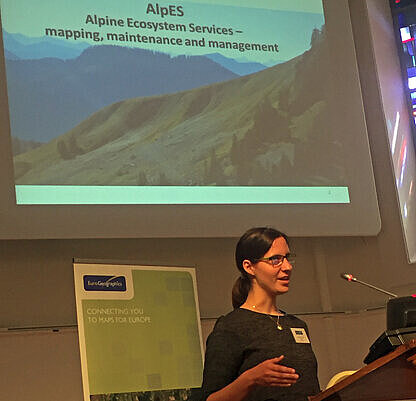
I started my presentation asking the audience, if they were already familiar with the term ecosystem services. Only a minority of the approximatively 70 participants raised their hands. This underlines the importance of one of the main objectives of the AlpES project, which is introducing the ES concept to the general public. Especially planners and policy makers should be enabled to make better informed decisions by taking into account a sustainable usage of ecosystem services.I continued my presentation by introducing the current state of the AlpES WebGIS. The WebGIS is a tool to present the ecosystem service indicators to the stakeholders and public in an interactive and user-friendly way. In the final part of my talk I discussed the role and advantages of the EBM data in our project. The feedback I have received showed the strong interest of the participants in the topic. Attending this meeting was a great experience.
All in all it was a fantastic trip to Leuven, meeting many great people at that perfect organized conference and enjoying a delicious dinner in the best of company.
Background information:
- EuroGeographics is the membership association and acknowledged voice of the European National Mapping, Cadastre and Land Registry Authorities. Currently the assoziation consists of 60 organisations from 46 countries.
- The Extraordinary General Assembly briefs members on the work of the Association and provides an opportunity among other things to find out about products and services and hear how users benefit from pan-European data.
- The EuroBoundaryMap (EBM) contains administrative and statistical units of Europe.
- Further Information about the AlpES project.