Periurban form in the tropical Andes: research activities in Peru
23.03.2022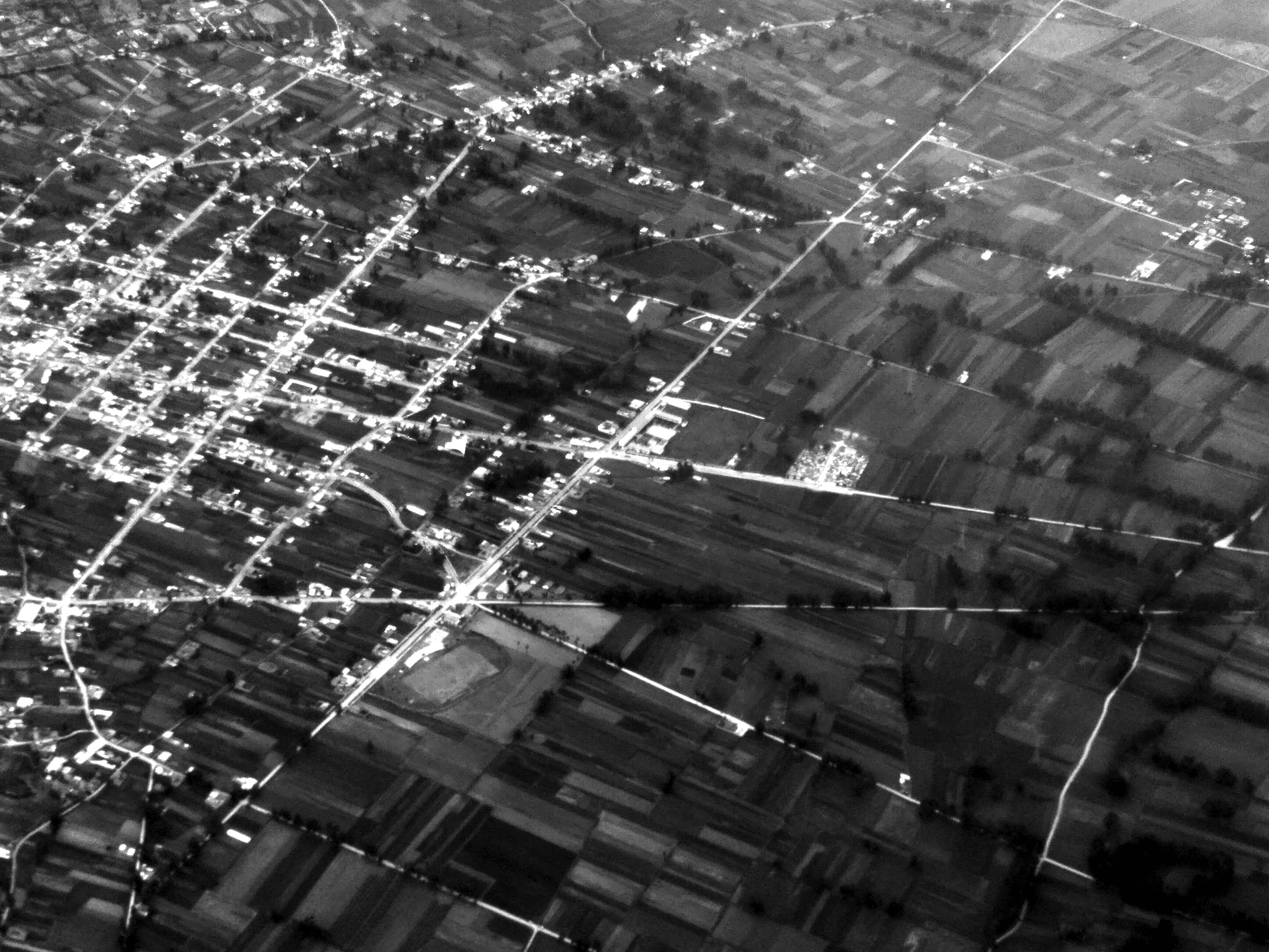
In the course of global urbanization, the periurban morphology of Andean cities like Cusco, Huancayo, and Huaraz, all located in mountain valleys above 3000 m asl, is transforming rapidly—in terms of ground plan (street blocks, lots, and buildings), building fabric, and land use. Since Andean land use systems usually include several, mutually complementary altitudinal zones, these transformations on the valley floors are inextricably linked with changes on the steep slopes and high plains surrounding the Andean cities, for instance shifts between cropland, grassland, and woodland.
In March 2022, field work is carried out to shed light on the state of changing periurban form in Cusco, Huancayo, and Huaraz. Apart from acquiring secondary data and documenting periurban morphological changes (e.g., the spontaneous growth of marginal settlements, the planned development of serviced lots, and the building of vertically arranged condominiums), direct field observations will help interpreting medium-resolution long-term satellite imagery from Landsat 5 TM and Landsat 8 OLI/TIRS from 1991, 2001, 2011, and 2021, classifying land cover types, and assessing classification accuracies. Since March belongs to the second half of the rainy season, cropland (mostly cereals, legumes, and roots/tubers) can be clearly identified. Moreover, special attention will be paid to the linkages between urban development and the expansion of eucalyptus and pine plantations—which often find themselves in the names of streets and real-estate projects ("Los Eucaliptos" or "Los Pinos"). Understanding the effects of the periurban form of the valley floors on farmers' land use at the higher altitudinal zones surrounding the cities, can help shaping policies for sustainable and mountain-specific urban development in the Peruvian Andes.