


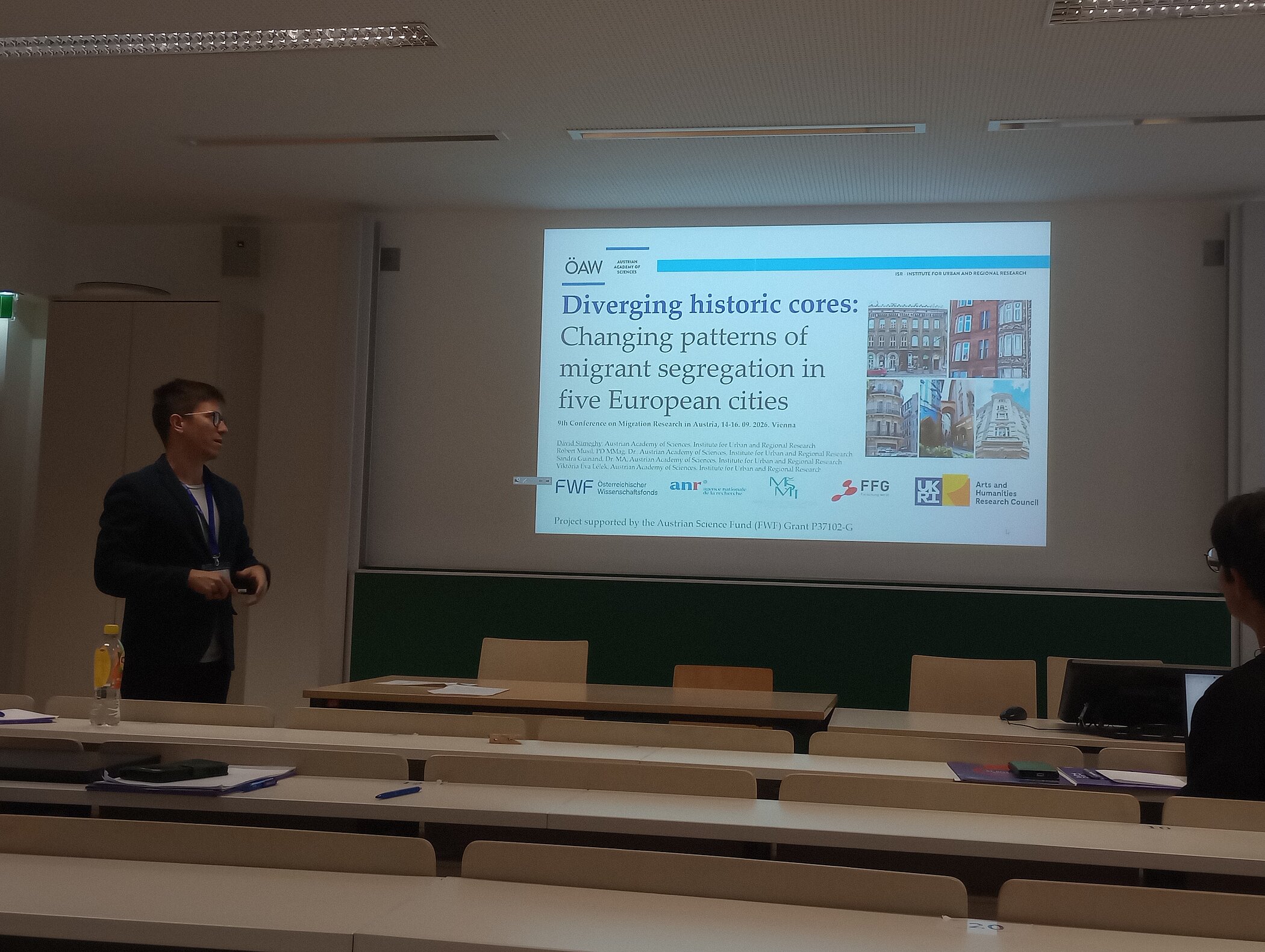
9th Conference on Migration Research in Austria, 14-16. 09. 2026. Vienna
Diverging historic cores: Changing patterns of migrant segregation in five European cities
Dávid Sümeghy, Robert Musil, Sandra Guinand & Viktória Éva Lélek
Urban segregation is a multidimensional, dynamic, and multi-scalar phenomenon shaped by population mobility over time and space, and embedded in broader processes of structural and spatial inequality. In European metropolitan contexts, rising socioeconomic segregation parallels increasing income inequality, welfare-state retrenchment, and the liberalization of housing markets. While traditionally much of the literature portrays historic city as ethnically highly diverse spaces with neighbourhoods at risk of sharp segregation (Kazepov, 2006), this trend is now changing due to successive waves of gentrification (Aalbers, 2019), most recently shaped by tourism gentrification (Gotham, 2018). Gentrification, understood not merely as physical renewal but as a class-based transformation that frequently results in displacement (Lees & Philips 2008). In the literature on gentrification, discourse often show that as property values and rents increase, lower-income residents are progressively pushed out of historic cores, reshaping inner-city segregation and generating a new spatial divide between the historical city and the rest of the city. Drawing on similarities with the segmented assimilation model and multiple cross analysis of five historic city, this paper however conceptualizes historic urban areas as following multiple and uneven trajectories of change. We argue that historic cities do not evolve along a single path; rather, their initial social composition and economic position condition whether they experience stabilization, diversification and increasing segregation, or displacement-driven homogenization (Fowler et al., 2016).
The research presents a comparative analysis of five European cities (Vienna, Budapest, Marseille, Prague, and Glasgow), for which the historic area has been defined, and which differ markedly in welfare regimes, housing segmentation, building stock age structure, and social challenges. We examine how the segregation of migrants has changed since 2001 in the historic city dominated by old housing stock. We further analyse how segregation indices relate to other socioeconomic variables, and whether the strength of these relationships has shifted across census waves, both within and outside the historic city. Our analysis is based on highly disaggregated census data obtained from local statistical offices, ranging from 202 to 1,368 census units depending on the city. To identify spatial patterns of segregation, we employ Local Moran’s I, while the Theil entropy index is used to decompose segregation and assess the extent to which overall migrant segregation is structured by the historic city–non-historic city divide. The relationships between the segregation of migrants (measured with location quotient) and indicators of education, employment, and age structure are examined using spatial mixed-effects models, allowing us to capture temporal dynamics and changes in the strength of these associations.
By adopting a comparative and longitudinal perspective across three census cycles, this research traces the evolution of segregation patterns in five European cities and identifies the distinct factors associated with migrant segregation both in the historic city and beyond. The findings contribute to a more nuanced understanding of how gentrification, welfare regimes, and housing structures interact to reshape urban inequalities in contemporary European cities.