


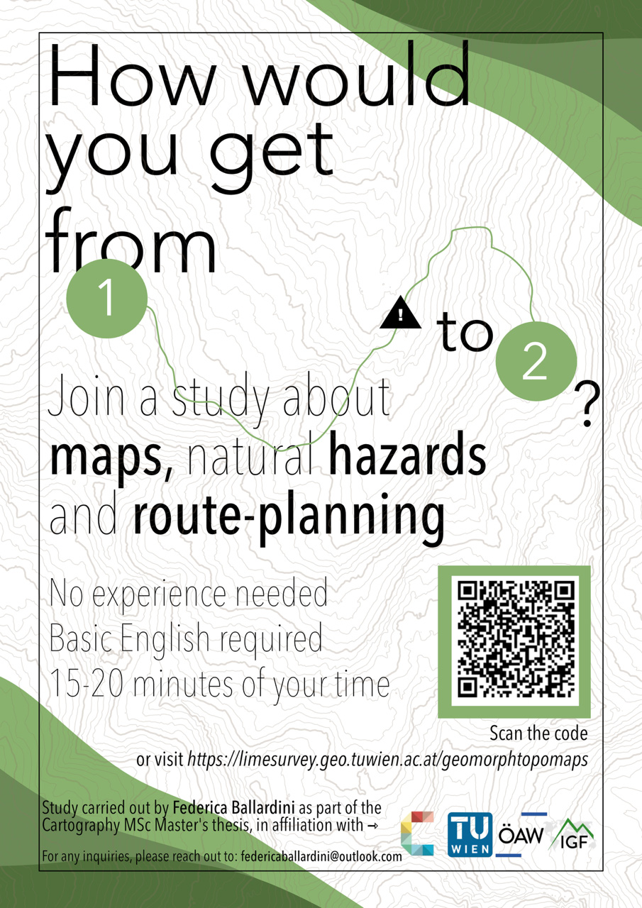
A Master's student in Cartography at the Technical University of Vienna, in partnership with the Institute of Institute of Interdisciplinary Mountain Research (IGF) at the ÖAW, is investigating how the design of hiking maps incorporating natural hazard information affects route selection and risk perception.
To support this research project, an interactive survey has been created that should take around 15–20 minutes to complete. During the survey, you will be asked to select a few routes using different map designs and answer some brief questions about your choices.
Whether you are an experienced mountaineer, a recreational hiker, or someone who rarely spends time outdoors, your participation would be invaluable.
Every response will help us to better understand how maps can communicate natural hazards and environmental change more effectively.
Thank you for your time! Please feel free to share the survey with your friends and family.
For any questions or feedback, please email Federica Ballarini